Framed Prints
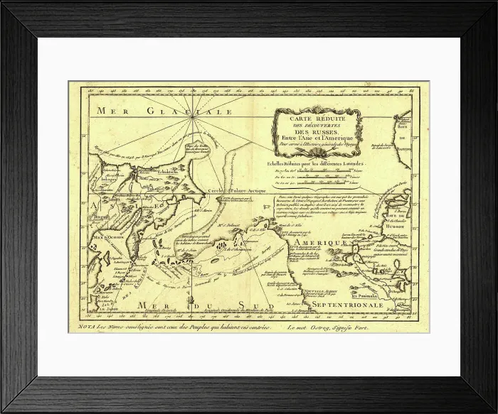
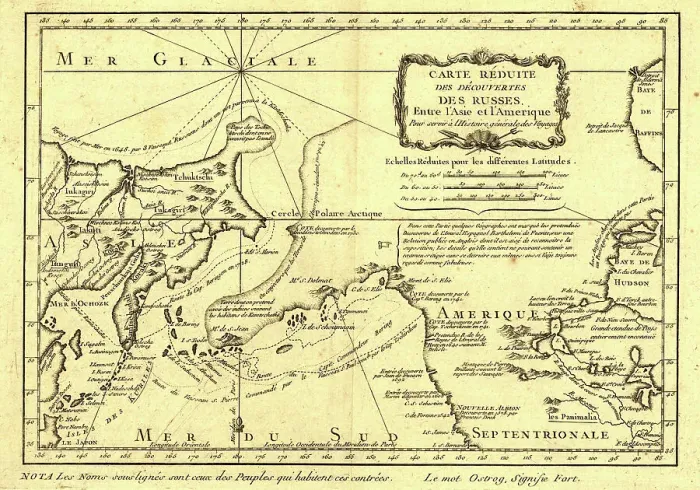
Framed Print of Carte re´duite des de´couvertes des Russes, entre l'Asie et l'Amerique, (1747?). Creator: Jacques-Nicolas Bellin
Carte re´duite des de´couvertes des Russes, entre l'Asie et l'Amerique, (1747?). This French map of Alaska, Siberia, and the North Pacific, published in 1747, was based upon geographical information gleaned from earlier Russian voyages. It was created by the French cartographer, Jacques-Nicolas Bellin (1703-72), and published by the French author, Abbe´ Pre´vost. Trained as a hydrographer, Bellin was attached to the French Marine Office and specialized in producing maritime maps showing coastlines. In 1764 he published Le Petit Atlas Maritime (Small maritime atlas), a work in five volumes containing 581 maps. This map outlines the routes taken on the voyages by Semen Dezhnev around the Chukotka Peninsula in 1648; Vitus Bering through what became known as the Bering Strait in 1728; Mikhail Gvozdev and Ivan Fyodorov through the Bering Strait to Cape Prince of Wales in Alaska in 1732; and Vitus Bering and Aleksei Chirikov to southern Alaska in 1741. The map includes specific and accurate details on the Russian Asian coast south to Japan, as well as Sakhalin Island and the Kurile Islands. It also shows parts of California, which were known from Spanish explorations, as well as interior sections of North America near Hudson Bay. Heritage Images features heritage image collections. © Heritage Art/Heritage Images
Your chosen combination is quickly and professionally made to order, our shipping page has more details
If you are not entirely happy with your items, simply return them to us within 30 days for a replacement or full refund. Please read our full returns policy.
Media ID 35129277
1740s Alaska United States Of America California United States Of America Cartographer Cartographic Cartography Coastline Exploration Exploring Hudson Bay Hudsons Bay Map Making Mapmaker Mapmaking Marine Maritime North America Ocean Pacific Ocean Route Sakhalin Sakhalinskaya Oblast Russia Siberia Russia Strait Voyage
Modern Frame 14"x12" (36x31cm)
Ready to Hang Contemporary Framed Prints adds style, protection, and a polished touch to your space - effortlessly.
Your artwork will be printed as shown in the preview. To adjust please select Edit Printed Image under the Buy button
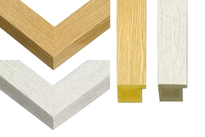
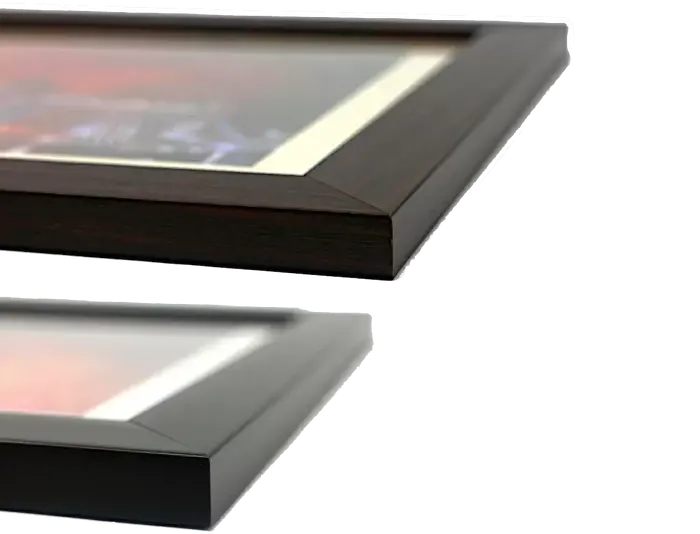
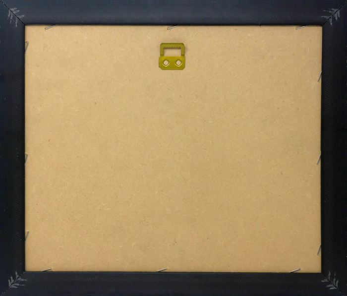
Wood effect frame, card mounted, 10x8 fade resistant photo print. Overall outside dimensions 14x12 inches (36x31cm). Environmentally and ozone friendly, 40mm wide x 15mm Polycore® moulding has the look of real wood, is durable and light and easy to hang. Biodegradable and made with non-chlorinated gases (no toxic fumes) it is efficient; producing 100 tons of polystyrene can save 300 tons of trees! Prints are glazed with lightweight, shatterproof, optical clarity acrylic (providing the same general protection from the environment as glass). The back is stapled hardboard with a sawtooth hanger attached. Note: measurements provided are estimated outer dimensions, which include both the image and the frame. While we aim to keep sizing consistent, exact dimensions may vary slightly due to differences in print size or production requirements, which may result in a variation in the overall size (up to approximately 2.5cm (1"))
These are individually made so all sizes are approximate
Estimated Image Size (if not cropped) is 24.4cm x 17.1cm (9.6" x 6.7")
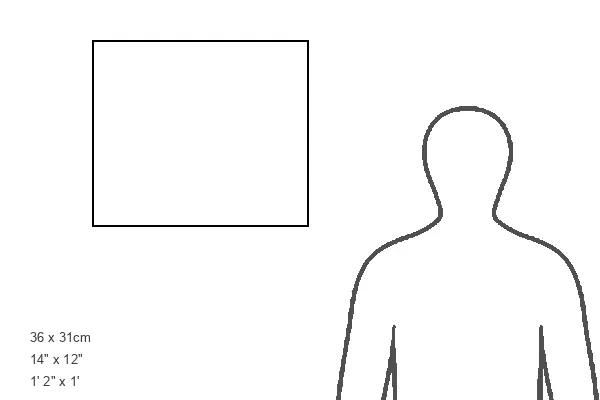
Estimated Product Size is 36cm x 31cm (14.2" x 12.2")