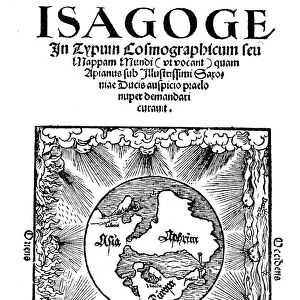
Photographic Print : John Speed (1542-1629), English cartographer and historian, 1816
, English cartographer and historian, 1816")
![]()
Photo Prints from Heritage Images
John Speed (1542-1629), English cartographer and historian, 1816
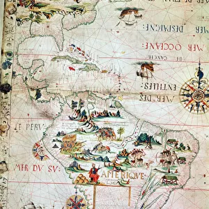
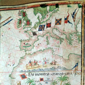
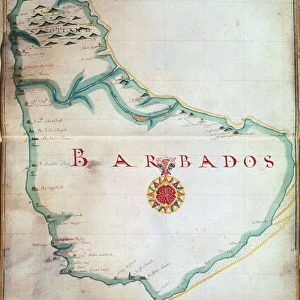
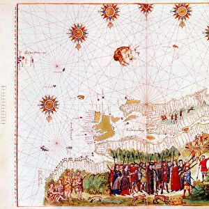
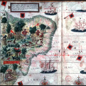
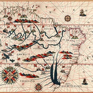
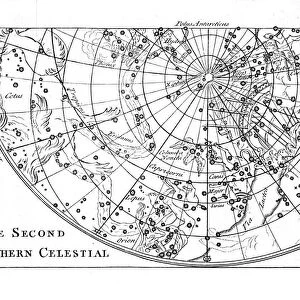
John Speed (1542-1629), English cartographer and historian, 1816. Speed is probably the most famous of British mapmakers. In 1612 he published The Theatre of the Empire of Great Britain, an atlas containing 67 maps of English and Welsh counties, and in 1627 he became the first English cartographer to produce a world atlas
Media ID 14843238
© Ann Ronan Picture Library / Heritage-Images
Cartographer Cartography Historian Map Making Ruff Speed Stewart Stuart
10"x8" (25x20cm) Photo Print
Printed on archival quality paper for unrivalled stable artwork permanence and brilliant colour reproduction with accurate colour rendition and smooth tones. Printed on professional 234gsm Fujifilm Crystal Archive DP II paper. 10x8 for landscape images, 8x10 for portrait images.
Our Photo Prints are in a large range of sizes and are printed on Archival Quality Paper for excellent colour reproduction and longevity. They are ideal for framing (our Framed Prints use these) at a reasonable cost. Alternatives include cheaper Poster Prints and higher quality Fine Art Paper, the choice of which is largely dependant on your budget.
Estimated Product Size is 20.3cm x 25.4cm (8" x 10")
These are individually made so all sizes are approximate
Artwork printed orientated as per the preview above, with landscape (horizontal) or portrait (vertical) orientation to match the source image.
MADE IN THE UK
Safe Shipping with 30 Day Money Back Guarantee
FREE PERSONALISATION*
We are proud to offer a range of customisation features including Personalised Captions, Color Filters and Picture Zoom Tools
FREE COLORIZATION SERVICE
You can choose advanced AI Colorization for this picture at no extra charge!
SECURE PAYMENTS
We happily accept a wide range of payment options so you can pay for the things you need in the way that is most convenient for you
* Options may vary by product and licensing agreement. Zoomed Pictures can be adjusted in the Cart.