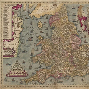
Jigsaw Puzzle : Saxtons Map of Norfolk, 1574, (1944). Creator: Christopher Saxton
. Creator: Christopher Saxton")
. Creator: Christopher Saxton")
![]()
Jigsaw Puzzles from Heritage Images
Saxtons Map of Norfolk, 1574, (1944). Creator: Christopher Saxton
Saxtons Map of Norfolk, 1574, (1944). Detail of the county of Norfolk, showing rivers, towns and villages, and a ship in The Wash. One of 35 coloured maps in " Atlas of the Counties of England and Wales", the first atlas of any country, made by Christopher Saxton. Manuscript in the British Library in London. From " British Maps and Map-Makers", by Edward Lynam. [Collins, London, 1944]
Media ID 19777284
© The Print Collector/Heritage Images
Britain In Pictures Christopher Coastline Collins Edward Edward Lynam Elizabethan Lynam Norfolk Rivers Social History William Collins William Collins And Sons William Collins Sons
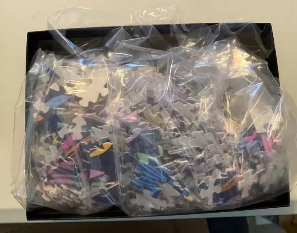
Jigsaw Puzzle (520 Pieces)
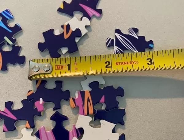
Made in the USA, 520-piece puzzles measure 16" x 20" (40.6 x 50.8 cm). Every puzzle is meticulously printed on glossy photo paper, which has a strong 1.33 mm thickness. Delivered in a black storage cardboard box, these puzzles are both stylish and practical. (Note: puzzles contain small parts and are not suitable for children under 3 years of age.)
Jigsaw Puzzles are an ideal gift for any occasion
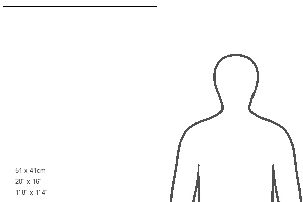
Estimated Product Size is 50.8cm x 40.5cm (20" x 15.9")
These are individually made so all sizes are approximate
Artwork printed orientated as per the preview above, with landscape (horizontal) or portrait (vertical) orientation to match the source image.
MADE IN THE USA
Safe Shipping with 30 Day Money Back Guarantee
FREE PERSONALISATION*
We are proud to offer a range of customisation features including Personalised Captions, Color Filters and Picture Zoom Tools
SECURE PAYMENTS
We happily accept a wide range of payment options so you can pay for the things you need in the way that is most convenient for you
* Options may vary by product and licensing agreement. Zoomed Pictures can be adjusted in the Cart.