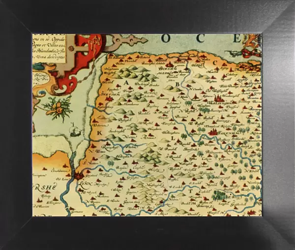
Framed Print : Saxtons Map of Norfolk, 1574, (1944). Creator: Christopher Saxton
. Creator: Christopher Saxton")
. Creator: Christopher Saxton")
![]()
Framed Photos from Heritage Images
Saxtons Map of Norfolk, 1574, (1944). Creator: Christopher Saxton
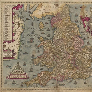
Saxtons Map of Norfolk, 1574, (1944). Detail of the county of Norfolk, showing rivers, towns and villages, and a ship in The Wash. One of 35 coloured maps in " Atlas of the Counties of England and Wales", the first atlas of any country, made by Christopher Saxton. Manuscript in the British Library in London. From " British Maps and Map-Makers", by Edward Lynam. [Collins, London, 1944]
Media ID 19777284
© The Print Collector/Heritage Images
Britain In Pictures Christopher Coastline Collins Edward Edward Lynam Elizabethan Lynam Norfolk Rivers Social History William Collins William Collins And Sons William Collins Sons
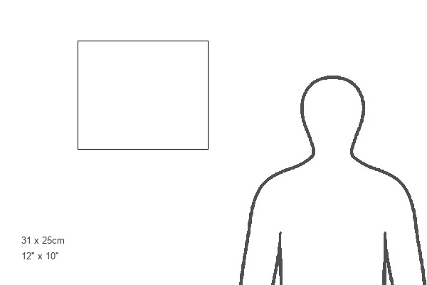
12"x10" Modern Frame
10x8 Print in an MDF Wooden Frame with 180 gsm Satin Finish Paper. Glazed using shatter proof thin plexi glass. Frame thickness is 1 inch and depth 0.75 inch. Fluted cardboard backing held with clips. Supplied ready to hang with sawtooth hanger and rubber bumpers. Spot clean with a damp cloth. Packaged foam wrapped in a card.
Contemporary Framed and Mounted Prints - Professionally Made and Ready to Hang
Estimated Image Size (if not cropped) is 25.4cm x 25.4cm (10" x 10")
Estimated Product Size is 30.5cm x 25.4cm (12" x 10")
These are individually made so all sizes are approximate
Artwork printed orientated as per the preview above, with landscape (horizontal) or portrait (vertical) orientation to match the source image.
MADE IN THE USA
Safe Shipping with 30 Day Money Back Guarantee
FREE PERSONALISATION*
We are proud to offer a range of customisation features including Personalised Captions, Color Filters and Picture Zoom Tools
SECURE PAYMENTS
We happily accept a wide range of payment options so you can pay for the things you need in the way that is most convenient for you
* Options may vary by product and licensing agreement. Zoomed Pictures can be adjusted in the Cart.