


Framed Prints
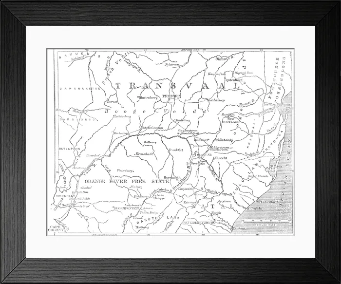
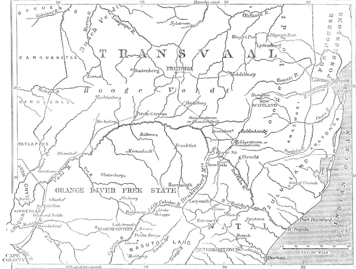
Framed Print of Map of the Transvaal and adjacent provinces, 1881. Creator: Stanford's Geographical Establishment.
Map of the Transvaal and adjacent provinces, 1881
Map of the Transvaal and adjacent provinces, 1881. The British in South Africa. If now, therefore, her Majesty's Government should feel called upon, returning to the honourable observance of that Convention, to re-establish the Transvaal Republic, it will be only just and right to cut off all those outlying dominions, gained by unjustifiable Dutch encroachments, and reduce their future realm to its original extent. The Map shows, in its northward limit, something like the utmost verge and scope of a fair arrangement to this purpose. It happens that Nature has provided a most convenient boundary, in the Waterberg and several other ranges, stretching all across the Transvaal region from west to east, from the Marico to the Lydenburg districts, to shut off the principal native tribes from the Dutch commonwealth. The Bush country beyond has proved insalubrious to man and beast, and the Boers can do very well without it. At any rate, we do not think they will ever get it with the goodwill of the British Government, which is pledged to stop further aggression upon the native tribes; though it has, with singular inconsistency, made war on Cetewayo for resisting these encroachments on the Pongola and in the Utrecht district'. From Illustrated London News", 1881. Heritage Images features heritage image collections. © The Print Collector/Heritage Images
Your chosen combination is quickly and professionally made to order, our shipping page has more details
If you are not entirely happy with your items, simply return them to us within 30 days for a replacement or full refund. Please read our full returns policy.
Media ID 47267879
1880 1881 Basuto Gun War Basuto War Basutoland Rebellion Bloemfontein Boer Wars Cape Colony Colony First Boer War First Boer War 1880 1881 Free State Indian Ocean Lesotho Natal Natal South Africa Africa Ocean Orange Free State Orange River Orange River Colony South Africa Stanfords Stanfords Geographical Establishment Transvaal Transvaal South Africa Zululand
Modern Frame 14"x12" (36x31cm)
Ready to Hang Contemporary Framed Prints adds style, protection, and a polished touch to your space - effortlessly.
Your artwork will be printed as shown in the preview. To adjust please select Edit Printed Image under the Buy button
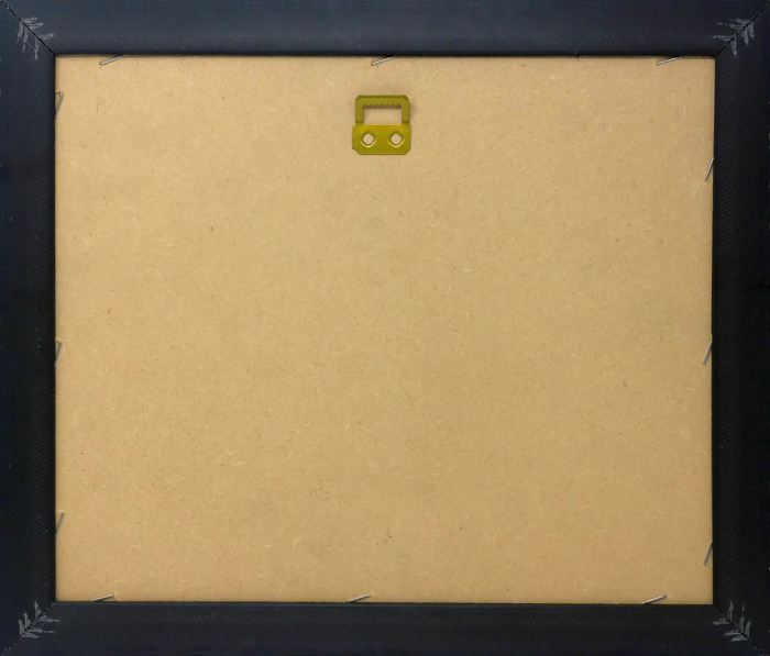
Wood effect frame, card mounted, 10x8 fade resistant photo print. Overall outside dimensions 14x12 inches (36x31cm). Environmentally and ozone friendly, 40mm wide x 15mm Polycore® moulding has the look of real wood, is durable and light and easy to hang. Biodegradable and made with non-chlorinated gases (no toxic fumes) it is efficient; producing 100 tons of polystyrene can save 300 tons of trees! Prints are glazed with lightweight, shatterproof, optical clarity acrylic (providing the same general protection from the environment as glass). The back is stapled hardboard with a sawtooth hanger attached. Note: measurements provided are estimated outer dimensions, which include both the image and the frame. While we aim to keep sizing consistent, exact dimensions may vary slightly due to differences in print size or production requirements, which may result in a variation in the overall size (up to approximately 2.5cm (1"))
These are individually made so all sizes are approximate
Estimated Image Size (if not cropped) is 24.4cm x 18.5cm (9.6" x 7.3")
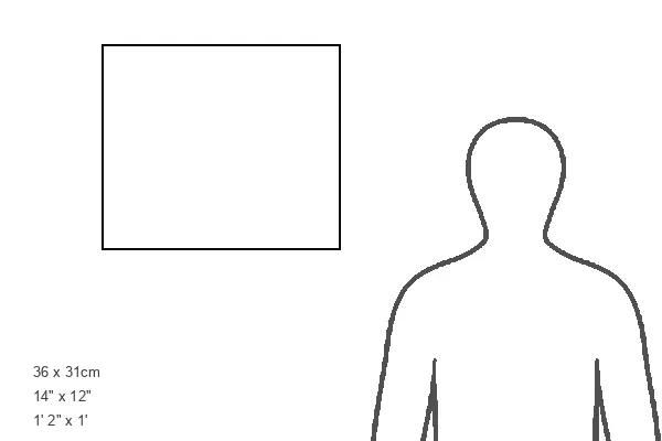
Estimated Product Size is 36cm x 31cm (14.2" x 12.2")