Framed Prints
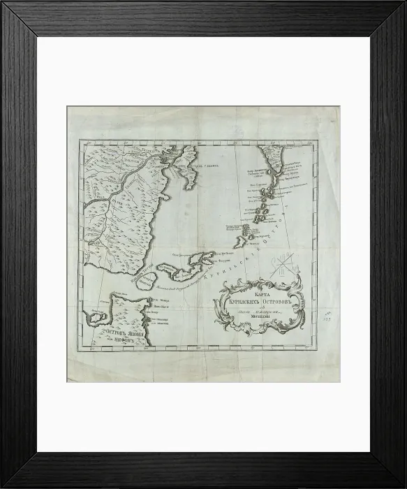
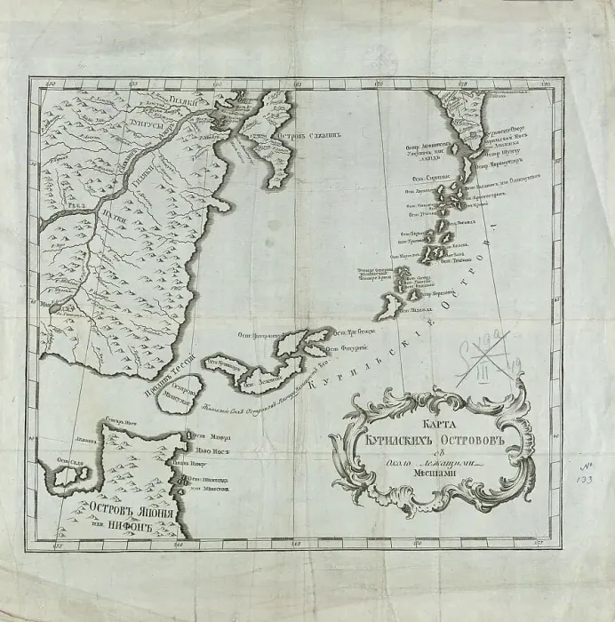
Framed Print of Map of the Kuril Islands with Surrounding Areas, 1700-1799. Creator: Unknown
Map of the Kuril Islands with Surrounding Areas, 1700-1799. This 18th century Russian map depicts the Kurile Islands archipelago, located on the far eastern edge of the Russian Empire. Although inaccurate in places, the map attempts to show the large and small islands throughout the entire chain. Most of the Kurile Islands are listed by name, a geographical specificity quite unusual for such a remote region in this era. As with the nearby Aleutian Islands, by this time these islands had been repeatedly visited by both Russian maritime explorers and hunters of sea otter. Sakhalin Island is also seen toward the upper center of the map, alongside the Russian mainland, as is the Kamchatka Peninsula toward the upper right. Some rivers, lakes, and other bodies of water are listed by name. Relief is indicated pictorially in places. Northern Japan, principally Hokkaido, is shown toward the lower left of the map. Geographic coordinates for longitude on this map are measured from Ferro (present-day Hierro), the westernmost of the Canary Islands (the western edge of the world known to the ancients), used by geographers back to the time of Ptolemy as a base point prior to the agreement in 1884 that the prime meridian would run through Greenwich, England. Heritage Images features heritage image collections. © Heritage Art/Heritage Images
Your chosen combination is quickly and professionally made to order, our shipping page has more details
If you are not entirely happy with your items, simply return them to us within 30 days for a replacement or full refund. Please read our full returns policy.
Media ID 35130817
Aleutian Islands Archipelago Cartographic Cartography Cyrillic Headland Kamchatka Peninsula Mainland Map Making Mapmaking Marine Maritime Peninsula Russian Empire Russian Federation Russian State Library Sakhalin Sakhalinskaya Oblast Russia
Modern Frame 14"x12" (36x31cm)
Ready to Hang Contemporary Framed Prints adds style, protection, and a polished touch to your space - effortlessly.
Your artwork will be printed as shown in the preview. To adjust please select Edit Printed Image under the Buy button
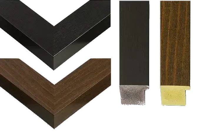
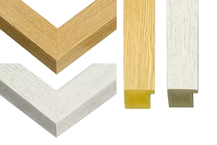
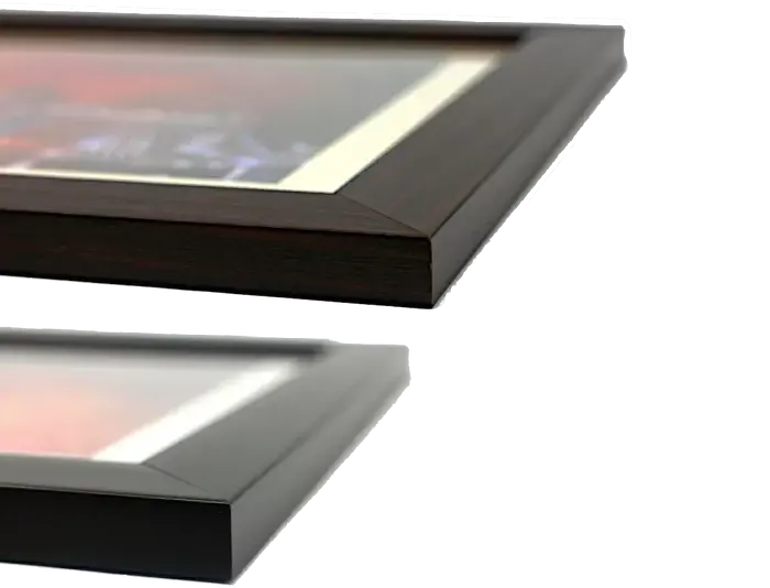
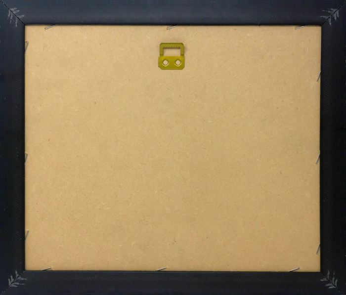
Wood effect frame, card mounted, 10x8 fade resistant photo print. Overall outside dimensions 14x12 inches (36x31cm). Environmentally and ozone friendly, 40mm wide x 15mm Polycore® moulding has the look of real wood, is durable and light and easy to hang. Biodegradable and made with non-chlorinated gases (no toxic fumes) it is efficient; producing 100 tons of polystyrene can save 300 tons of trees! Prints are glazed with lightweight, shatterproof, optical clarity acrylic (providing the same general protection from the environment as glass). The back is stapled hardboard with a sawtooth hanger attached. Note: measurements provided are estimated outer dimensions, which include both the image and the frame. While we aim to keep sizing consistent, exact dimensions may vary slightly due to differences in print size or production requirements, which may result in a variation in the overall size (up to approximately 2.5cm (1"))
These are individually made so all sizes are approximate
Estimated Image Size (if not cropped) is 19.3cm x 19.5cm (7.6" x 7.7")
Estimated Product Size is 31cm x 36cm (12.2" x 14.2")