mail_outline sales@mediastorehouse.com
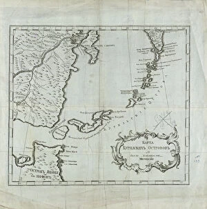
Map of the Kuril Islands with Surrounding Areas, 1700-1799. Creator: UnknownMap of the Kuril Islands with Surrounding Areas, 1700-1799. This 18th century Russian map depicts the Kurile Islands archipelago, located on the far eastern edge of the Russian Empire
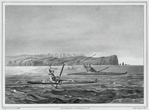
Inhabitants of Ounalacheka with their canoes (Aleutian Islands), 19th century. One of 65 lithographs that were included in the volume of maps published after the round-the-world voyage of
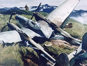
Crash Landing, Aleutians, 1943. Artist: Ogden Minton PleissnerCrash Landing, Aleutians, 1943. Found in the collection of the US Army Photographic Agency
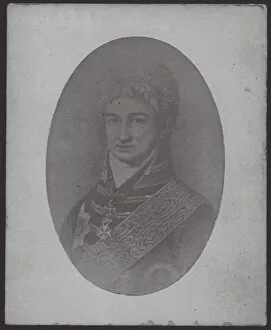
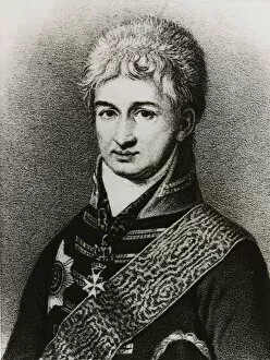
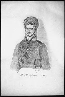
Nikolai Petrovich Rezanov, ca 1806. Artist: AnonymousNikolai Petrovich Rezanov, ca 1806. From a private collection
Nikolai Petrovich Rezanov. Artist: AnonymousNikolai Petrovich Rezanov. From a private collection
Fort Ross. Russian-American Company settlement, c. 1880. Artist: Raschen, Henry (1854-1937)Fort Ross. Russian-American Company settlement, c. 1880. From a private collection
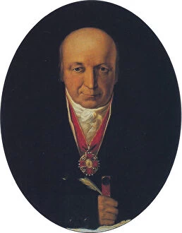
Portrait of Alexander Baranov, chief of the Russian-American Company, first governor of Russian Alaska, 1818. Found in the collection of the State Museum of Arctic and Antarctic, St Petersburg
Self-Portrait (Copy), 1806. Artist: Rezanov, Nikolay Petrovich (1764-1807)Self-Portrait (Copy), 1806. From a private collection
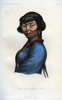
Woman of the Aleutian Islands, 1848. A woman from islands in the northern Pacific Ocean between Alaska and Russia. An engraving from the Natural History of Man, by James Cowles Prichard