Map To Illustrate The Campaign in Palestine, 1919. Creator: London Geographical Institute

![]()
Wall Art and Photo Gifts from Heritage Images
Map To Illustrate The Campaign in Palestine, 1919. Creator: London Geographical Institute
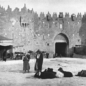
Map To Illustrate The Campaign in Palestine, 1919. Map of the Eastern Mediterrean and the Middle East, showing Cyprus, Port Said in Egypt, parts of Turkey and what are now Syria, the Lebanon, Israel and the Occupied Territories including Gaza. From " The History of the Great European War: its causes and effects", Vol. IX, by W. Stanley Macbean Knight. [Caxton Pulishing Company, Limited, London, 1919]
Media ID 19047561
© The Print Collector/Heritage Images
Beirut Bur Said Campaign Caxton Publishing Company Caxton Pulishing Company Caxton Pulishing Company Lim Caxton Pulishing Company Limited Caxton Pulishing Company Ltd Cyprus Israel Knight Lebanon Limited London Geographical Institute Mediterranean Palestine Port Said Stanley Macbean Stanley Macbean Knight Syria Turkey W Stanley Macbean W Stanley Macbean Knight William Stanley Macbean William Stanley Macbean Knight
MADE IN THE UK
Safe Shipping with 30 Day Money Back Guarantee
FREE PERSONALISATION*
We are proud to offer a range of customisation features including Personalised Captions, Color Filters and Picture Zoom Tools
SECURE PAYMENTS
We happily accept a wide range of payment options so you can pay for the things you need in the way that is most convenient for you
* Options may vary by product and licensing agreement. Zoomed Pictures can be adjusted in the Basket.