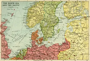
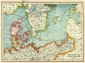
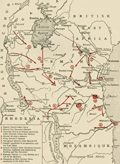
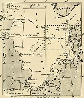
Map of the North Sea and the Baltic, c1914, (c1920). Creator: John Bartholomew & Son
Map of the North Sea and the Baltic, c1914, (c1920). Northern Europe at the start of the First World War, including parts of Norway, Sweden, Finland, Russia, Germany, Denmark
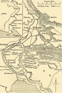
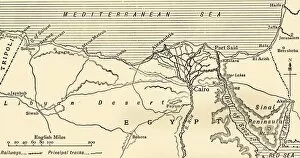
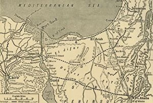
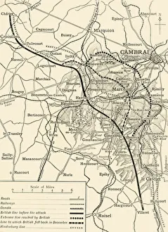
Map illustrating the Campaigns in Egypt from February, 1915, to May, 1916, . Creator: Unknown
Map illustrating the Campaigns in Egypt from February, 1915, to May, 1916, (c1920). Alexandria and the Nile delta, Cairo, Port Said, the Suez Canal and the Sinai Peninsula during the First World War
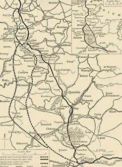
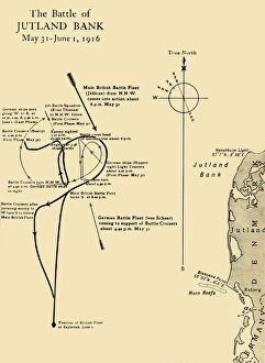
The Scene of the Battle of Jutland, May 31-June 1, 1916, (c1920). Creator: Unknown
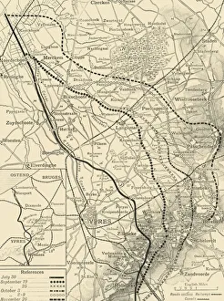
The Scene of the Battle of Jutland, May 31-June 1, 1916, (c1920). Map of the North Sea, showing the coastlines of Norway, Denmark, Germany, Holland, Belgium and Great Britain