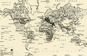
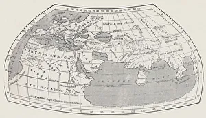
Map of the World, According to Ptolemy, 1923. Creator: Agathodaemon of Alexandria
Map of the World, According to Ptolemy, 1923. From " Australia, New Zealand and Oceania in Pictures", by H. Clive Barnard, M.A. Blitt. [A. & C. Black, Limited, London, 1923]