Wall Art and Photo Gifts from Heritage Images
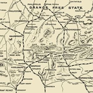
Map of the Boer Republics, 1900. Creator: Unknown
Map of the Boer Republics, 1900. From " South Africa and the Transvaal War, Vol. I", by Louis Creswicke. [T. C. & E. C. Jack, Edinburgh, 1900]
Media ID 19779063
© The Print Collector/Heritage Images
Boer
Boers
Cape Colony
Cartography
Creswicke
Jack
Louis
Louis Creswicke
Map Making
Mapmaking
Orange Free State
Republic
South Africa
South Africa And The Transvaal War
Tc And Ec
Tc And Ec Jack
Transvaal
MADE IN THE UK
Safe Shipping with 30 Day Money Back Guarantee
FREE PERSONALISATION*
We are proud to offer a range of customisation features including Personalised Captions, Color Filters and Picture Zoom Tools
SECURE PAYMENTS
We happily accept a wide range of payment options so you can pay for the things you need in the way that is most convenient for you
* Options may vary by product and licensing agreement. Zoomed Pictures can be adjusted in the Basket.
redeem
Beautiful Photo Prints and Gifts
image
Professionally Printed
inventory
Photo Prints are in stock
thumb_up
Professional quality finish
diamond
Made with high-grade materials
inventory_2
Carefully packed to aid safe arrival
Related Images
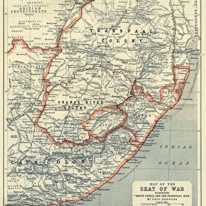
Map of the Seat of War, 1900. Creator: Unknown
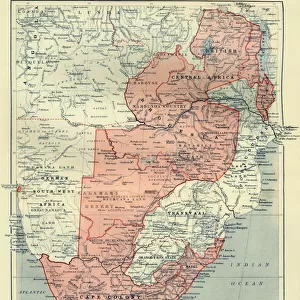
General Map of British South Africa, 1900. Creator: Unknown
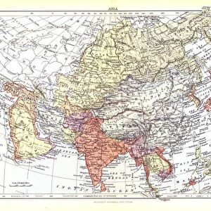
Map of Asia, c1902. Artist: W & AK Johnston
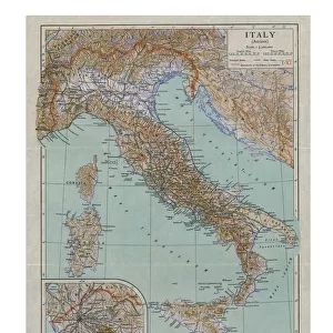
Map of Ancient Italy, c1910s. Artist: Emery Walker Ltd
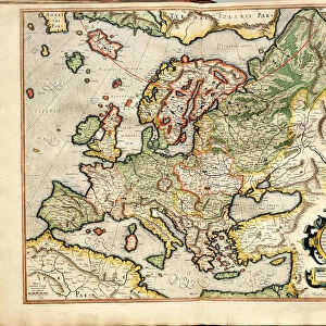
Atlas sive Cosmographicae Meditationes de Fabrica Mundi et Fabricati Fugura (Europe: Livonia, Russia Artist: Mercator, Gerardus (1512-1594)
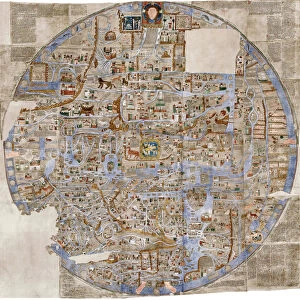
The Ebstorf Map, c. 1300. Artist: Anonymous master
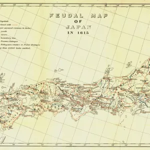
Feudal Map of Japan in 1615, (1903). Creator: Unknown
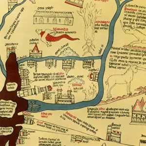
Hereford World Map, c. 1280, 1944. Creator: Richard de Bello
Map Illustrating the Operations on the South of the Orange River, 1900. Creator: Unknown
Map of Africa, c1910. Artist: Gull Engraving Company
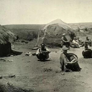
A Kaffir Kraal in the Transvaal, 1900. Creator: George Washington Wilson
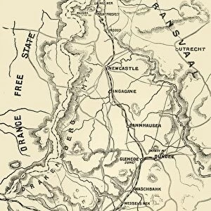
Map of Northern Natal. Scale 15 Statute Miles to the Inch, 1900. Creator: Unknown

