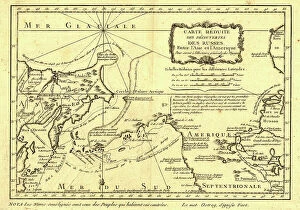
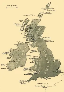
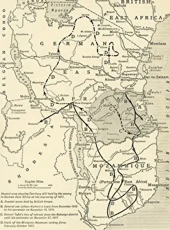
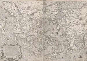
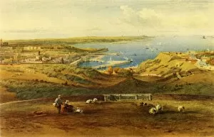
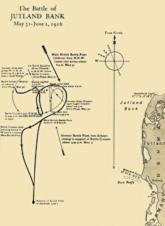
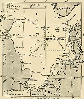
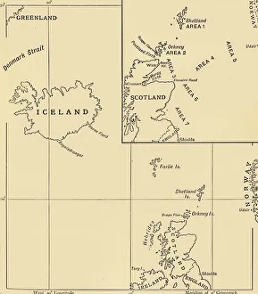
The Scene of the Battle of Jutland, May 31-June 1, 1916, (c1920). Creator: Unknown
The Scene of the Battle of Jutland, May 31-June 1, 1916, (c1920). Map of the North Sea, showing the coastlines of Norway, Denmark, Germany, Holland, Belgium and Great Britain