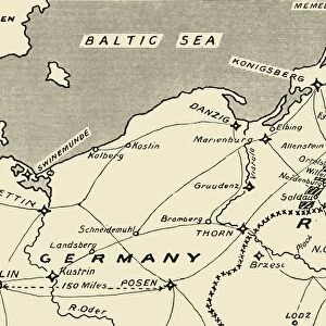
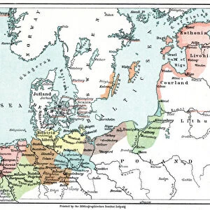
Map of Prussia, c1872. Creator: Unknown

![]()
Wall Art and Photo Gifts from Heritage Images
Map of Prussia, c1872. Creator: Unknown
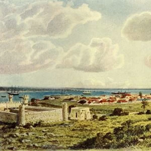
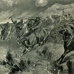
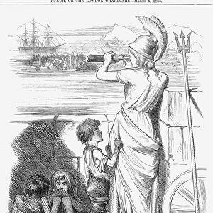
Map of Prussia, c1872. Showing the various regions including Holstein, Hanover, Westphalia, Lower Rhine, Lorraine, Nassau, Cassel, Saxony, Brandedburg, Silesia, Pomerania, West Prussia, East Prussia and Posen. From " The Franco-Prussian War: its causes, incidents and consequences", Volume I, by Captain H M Hozier. [William Mackenzie, London, 1872]
Media ID 19780443
© The Print Collector/Heritage Images
1870 1871 Baltic Sea Coastline Franco Prussian War H M Hozier Henry Montague Henry Montague Hozier Hozier Mackenzie North Sea Prussia Prussian Sir Henry Montagu Hozier Territorial Territory William Mackenzie
MADE IN THE UK
Safe Shipping with 30 Day Money Back Guarantee
FREE PERSONALISATION*
We are proud to offer a range of customisation features including Personalised Captions, Color Filters and Picture Zoom Tools
SECURE PAYMENTS
We happily accept a wide range of payment options so you can pay for the things you need in the way that is most convenient for you
* Options may vary by product and licensing agreement. Zoomed Pictures can be adjusted in the Basket.