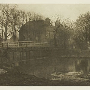
Map of Rathbone Place and its neighbourhood, Westminster, London, 1746 (1878)
")
![]()
Wall Art and Photo Gifts from Heritage Images
Map of Rathbone Place and its neighbourhood, Westminster, London, 1746 (1878)
Map of Rathbone Place and its neighbourhood, Westminster, London, 1746 (1878). From John Rocques Maps of London. John Rocque (1709-1762) created an extensive map of Georgian London in 1746. From Old and New London Illustrated, Vol IV, by Edward Walford. [Cassell Petter & Galpin, London, Paris & New York, 1878]
Media ID 14931639
© The Print Collector
Cartography Edward Edward Walford Georgian Map Making Marylebone Rocque Walford
MADE IN THE UK
Safe Shipping with 30 Day Money Back Guarantee
FREE PERSONALISATION*
We are proud to offer a range of customisation features including Personalised Captions, Color Filters and Picture Zoom Tools
SECURE PAYMENTS
We happily accept a wide range of payment options so you can pay for the things you need in the way that is most convenient for you
* Options may vary by product and licensing agreement. Zoomed Pictures can be adjusted in the Basket.