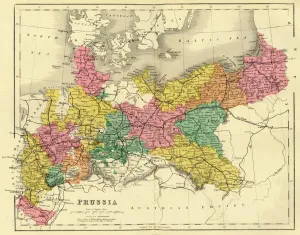
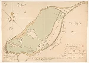
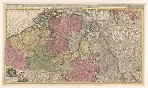
Map of Prussia, c1872. Creator: Unknown
Map of Prussia, c1872. Showing the various regions including Holstein, Hanover, Westphalia, Lower Rhine, Lorraine, Nassau, Cassel, Saxony, Brandedburg, Silesia, Pomerania, West Prussia
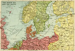
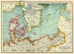
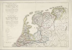
Map of the North Sea and the Baltic, c1914, (c1920). Creator: John Bartholomew & Son
Map of the North Sea and the Baltic, c1914, (c1920). Northern Europe at the start of the First World War, including parts of Norway, Sweden, Finland, Russia, Germany, Denmark
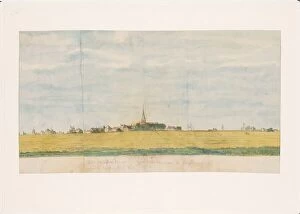
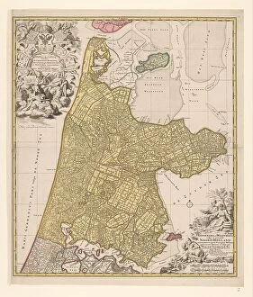
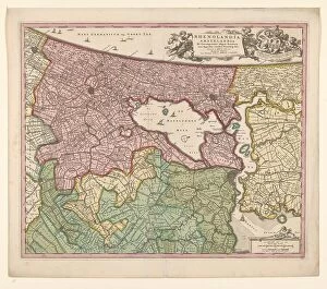
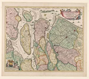
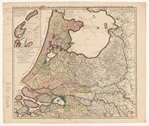
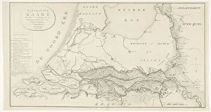
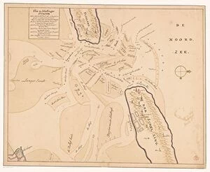
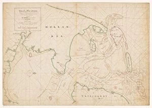
Map of Noord-Holland, Texel, Vlieland, Terschelling, part of Friesland... 1712. Creator: Isaak de Graaf
Map of Noord-Holland, Texel, Vlieland, Terschelling, part of Friesland and the surrounding sandbanks, 1712. Top left, cartouche with the title Texel en Flie-stroom (Texel and the Flie-stream)