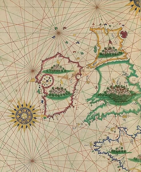
Map of Britain and Ireland, 10th century AH/AD 16th century. Creator: Unknown
![]()
Wall Art and Photo Gifts from Heritage Images
Map of Britain and Ireland, 10th century AH/AD 16th century. Creator: Unknown
Map of Britain and Ireland, 10th century AH/AD 16th century. Page from an early Ottoman illuminated and illustrated maritime atlas, referred to as the Walters Deniz atlasi. The work contains 8 double-page charts executed on parchment. The various geographical names are written in black Nasta'liq script. A distinguishing feature of this atlas is the detailed approach to representing such features as city vignettes
Media ID 36373479
© Heritage Art/Heritage Images
Atlantic Ocean Atlas Chart Cities Coastline Great Britain Ireland Marine Maritime Navigation Ocean Ottoman Parchment Turkey Turkish Vellum Wales Walters Art Museum
MADE IN THE USA
Safe Shipping with 30 Day Money Back Guarantee
FREE PERSONALISATION*
We are proud to offer a range of customisation features including Personalised Captions, Color Filters and Picture Zoom Tools
SECURE PAYMENTS
We happily accept a wide range of payment options so you can pay for the things you need in the way that is most convenient for you
* Options may vary by product and licensing agreement. Zoomed Pictures can be adjusted in the Cart.

