Jigsaw Puzzle : Plan of Bremenium, 1902


![]()
Jigsaw Puzzles from Heritage Images
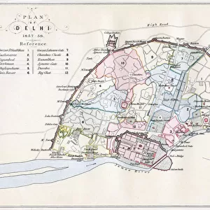
Plan of Bremenium, 1902
Plan of Bremenium, 1902. Bremenium was an ancient Roman fort (castra) located at Rochester, Northumberland, England. The fort was one of the defensive structures built along Dere Street, a Roman road running from York to Corbridge and onwards to Melrose. Significantly the fort is a long way north of Hadrians Wall. From Social England, edited by H.D. Traill, D.C.L. and J. S. Mann, M.A. [Cassell and Company, Limited, London, Paris, New York & Melbourne, 1902]
Media ID 14989212
© The Print Collector
2nd Century Britannia Cassell Co Cassell Company County Floor Plan Fort Ground Plan Hd Traill Henry Duff Henry Duff Traill Js Mann Kent Mann Northumberland Plan Rochester Roman Britain Social England Traill
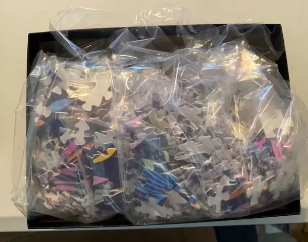
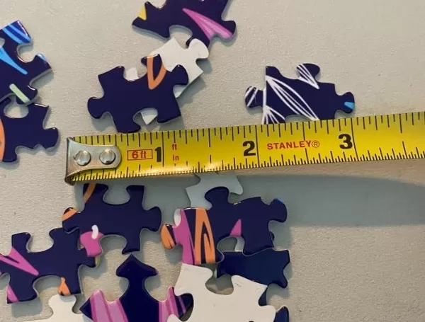
Jigsaw Puzzle (520 Pieces)
Made in the USA, 520-piece puzzles measure 16" x 20" (40.6 x 50.8 cm). Every puzzle is meticulously printed on glossy photo paper, which has a strong 1.33 mm thickness. Delivered in a black storage cardboard box, these puzzles are both stylish and practical. (Note: puzzles contain small parts and are not suitable for children under 3 years of age.)
Jigsaw Puzzles are an ideal gift for any occasion
Estimated Product Size is 40.5cm x 50.8cm (15.9" x 20")
These are individually made so all sizes are approximate
Artwork printed orientated as per the preview above, with landscape (horizontal) or portrait (vertical) orientation to match the source image.
MADE IN THE USA
Safe Shipping with 30 Day Money Back Guarantee
FREE PERSONALISATION*
We are proud to offer a range of customisation features including Personalised Captions, Color Filters and Picture Zoom Tools
SECURE PAYMENTS
We happily accept a wide range of payment options so you can pay for the things you need in the way that is most convenient for you
* Options may vary by product and licensing agreement. Zoomed Pictures can be adjusted in the Cart.