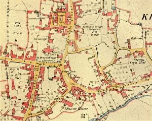
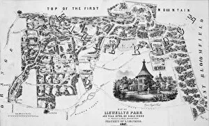
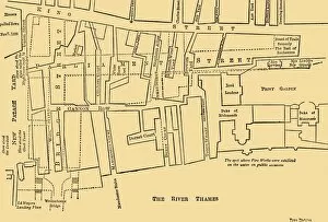
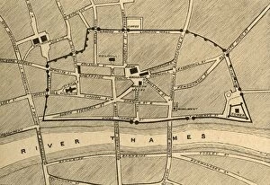
The Village of Kineton, Warwickshire, 1885-1887, (1944). Creator: Unknown
The Village of Kineton, Warwickshire, 1885-1887, (1944). Map showing the market place, St Peters Church, Wesleyan chapel, the Steam Corn Mill, the Manor House and the River Dene