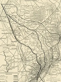
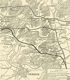
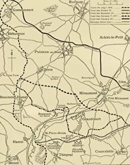
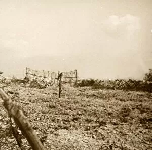
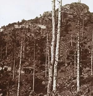
The Battles of the Ancre, northern France, First World War, 1916-1917, (c1920). Creator: Unknown
The Battles of the Ancre, northern France, First World War, 1916-1917, (c1920)....map illustrating the successive British advances from October, 1916, to February 28, 1917