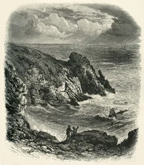
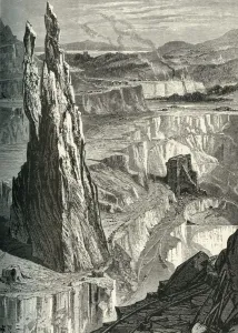
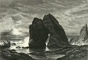
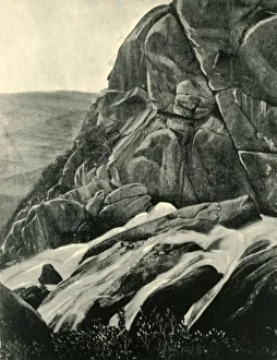
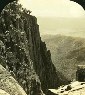
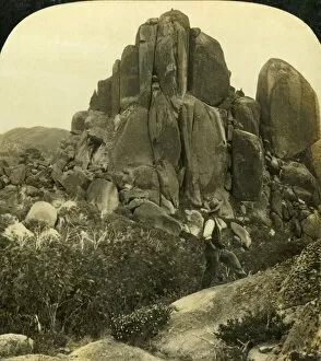
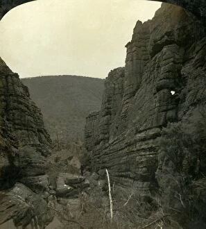
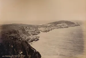
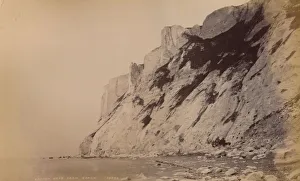
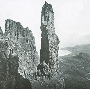
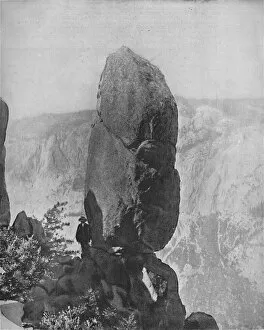
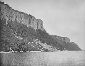
The North Side of the Gorge, Buffalo Ranges, Victoria, Australia, c1909. Creator: George Rose
The North Side of the Gorge, Buffalo Ranges, Victoria, Australia, c1909. A sheer wall of granite, 1, 700 feet from top to bottom
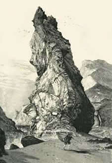
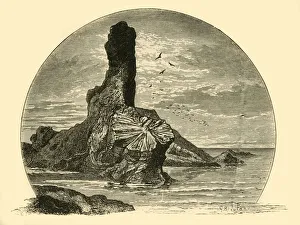
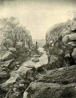
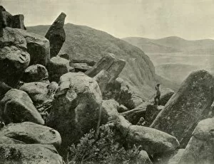
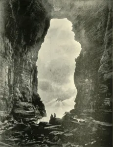
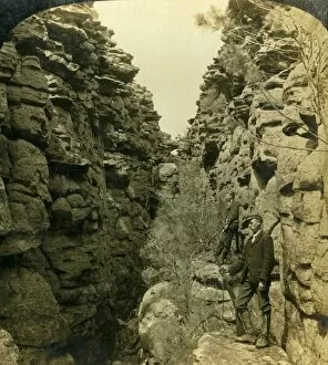
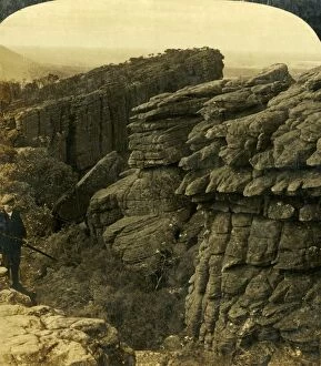
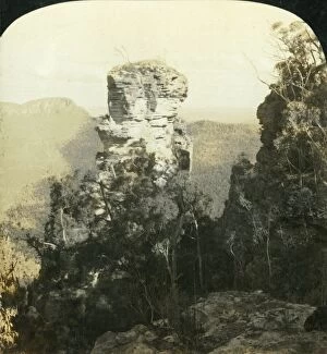
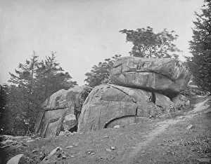
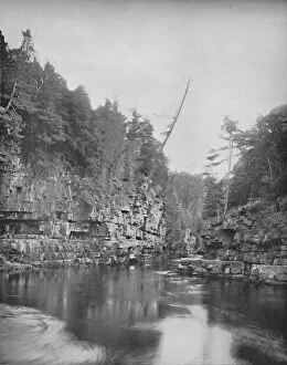
Wonderland Avenue, or the Silent Street, Grampians, Victoria, Australia, 1908. Creator
Wonderland Avenue, or the Silent Street, Grampians, Victoria, Australia, 1908. Full of curious profiles and grinning gargoyles. Unusual rock formation in the Grampians National Park in Victoria