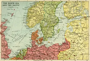
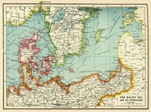
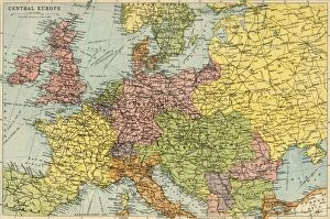
Map of the North Sea and the Baltic, c1914, (c1920). Creator: John Bartholomew & Son
Map of the North Sea and the Baltic, c1914, (c1920). Northern Europe at the start of the First World War, including parts of Norway, Sweden, Finland, Russia, Germany, Denmark