Map of England, Showing Anglo-Saxon Kingdoms and Danish Districts, (c9th century)
")
![]()
Wall Art and Photo Gifts from Heritage Images
Map of England, Showing Anglo-Saxon Kingdoms and Danish Districts, (c9th century)
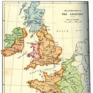
Map of England, Showing the Anglo-Saxon Kingdoms and the Danish Districts (The Latter Shaded), (c9th century), 1890. The Heptarchy is a collective name applied to the seven kingdoms of Anglo-Saxon settlement of Britain in the 5th century. During the 9th century, about half of England was under Danish rule. From " Cassells Illustrated Universal History, Vol. III - The Middle Ages", by Edmund Ollier. [Cassell and Company, Limited, London, Paris and Melbourne, 1890. ]
Media ID 19126517
© The Print Collector/Heritage Images
Anglo Saxon Cassells Cassells Illustrated Universal History Co Cassell Diagram District Division Edmund Edmund Ollier Kingdom Ollier Ollier Edmund Shaded
MADE IN THE UK
Safe Shipping with 30 Day Money Back Guarantee
FREE PERSONALISATION*
We are proud to offer a range of customisation features including Personalised Captions, Color Filters and Picture Zoom Tools
SECURE PAYMENTS
We happily accept a wide range of payment options so you can pay for the things you need in the way that is most convenient for you
* Options may vary by product and licensing agreement. Zoomed Pictures can be adjusted in the Basket.