mail_outline sales@mediastorehouse.com
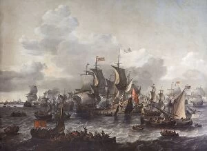
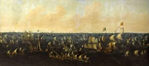
The Battle of the Zuider Zee, 1573, 1663. Creator: Jan Theunisz. BlanckerhoffThe Battle of the Zuider Zee, 1573, 1663
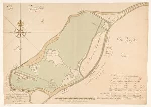
Map of the island of Urk, 1720. Creator: Maurits WalravenMap of the island of Urk, 1720. Map hand-drawn in 1720 by surveyor Maurits Walraven based on two anonymous maps. Bottom centre: scale of 160 Rhineland rods
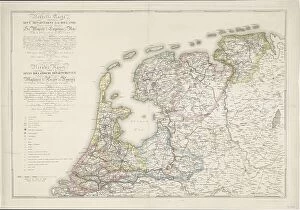
Nouvelle Carte des Sept Departemens de la Hollande/ New map of the seven Dutch...(1811-1812). Creator: Jan GerritszNouvelle Carte des Sept Departemens de la Hollande (...) / New map of the seven Dutch departments. Divided pursuant to the decree of his Majesty the Emperor and King of October 21, 1811
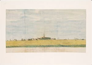
The village of Over-Diemen near Amsterdam on the Zuiderzee, view from land, 1764-1771. Creator: Jan BrandesThe village of Over-Diemen near Amsterdam on the Zuiderzee, view from land, 1764-1771. View of the village of Overdiem (Diemen)
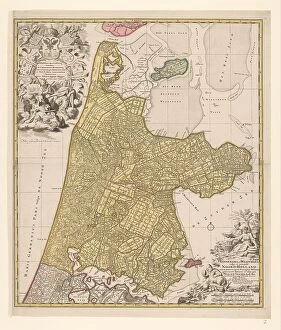
Map of North Holland, c.1700-c.1710. Creator: Nicolaes VisscherMap of North Holland, c.1700-c.1710. Kennemaria et Westfrisia vulgo et vernacule Noord-Holland tam in minores quam Praecipuas Ditiones...'
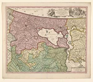
Map of Rijnland and Amstelland, c.1675. Creator: Workshop of Nicolaes VisscherMap of Rijnland and Amstelland, c.1675. Rhenolandia, Amstelandia et circumjacentia aliquot territoria: cum aggeribus omnibus terminisq. suis'
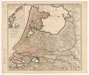
Map of Holland, Utrecht and part of Gelderland, 1726-1727. Creator: Caspar SpechtMap of Holland, Utrecht and part of Gelderland, 1726-1727. Map of the county of Holland, the seigneury of Utrecht and most of the Duchy of Gelderland. Texel and Vlieland in the top left
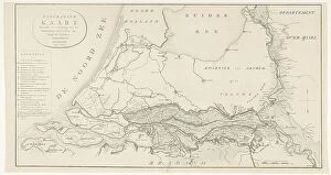
Figurative map, giving an indication of the main dike breaches, etc.: along the Rivers, 1809. Creator: Antoni ZürcherFigurative map, giving an indication of the main dike breaches, etc.: along the Rivers, 1809. The area affected by flooding between the large rivers
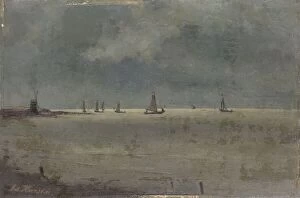
The Zuider Zee, 1885-1900. Creator: Johann Eduard KarsenThe Zuider Zee, 1885-1900
The Battle of the Zuider Zee, 6 October 1573, 1621. Creator: Abraham de VerwerThe Battle of the Zuider Zee, 6 October 1573, 1621
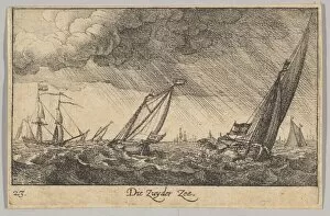
Zuyder Zee, 1635. Creator: Wenceslaus HollarZuyder Zee, 1635