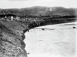
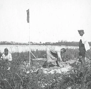
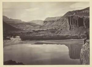
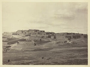
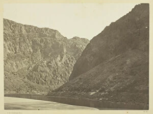
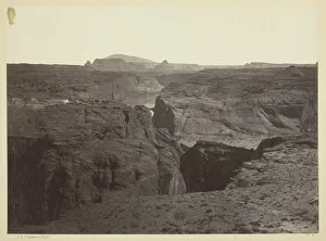
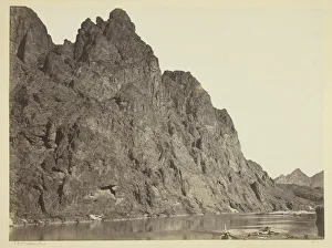
Black Canon, Colorado River, Looking Below, Near Camp 7, 1871. Creator: Tim O'Sullivan
Black Canon, Colorado River, Looking Below, Near Camp 7, 1871. Albumen print, from the album "Geographical & Geological Explorations & Surveys West of the 100th Meridian, " vol. 1