mail_outline sales@mediastorehouse.com
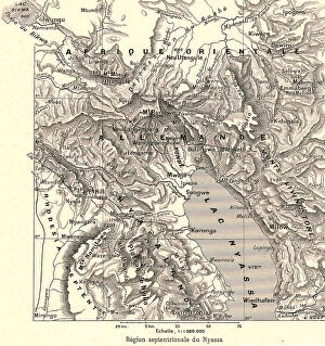
'Region septentrionale du Nyassa; Afrique Australe, 1914. Creator: Unknown'Region septentrionale du Nyassa; Afrique Australe, 1914. From "Grande Geographie Bong Illustree", 1914
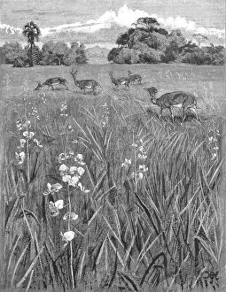
'Nyasa - Land awaits Inhabitants; Antelopes and Orchids, 1890. Creator: Unknown'Nyasa-Land awaits Inhabitants; Antelopes and Orchids, 1890. From "The Graphic. An Illustrated Weekly Newspaper", Volume 42. July to December, 1890
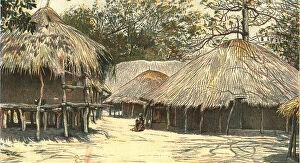
'Nyasaland and its People -- In Jumbe's Town, Kota Kota, 1890. Creator: H.H. Johnson'Nyasaland and its People -- In Jumbe's Town, Kota Kota, 1890. From "The Graphic. An Illustrated Weekly Newspaper", Volume 42. July to December, 1890
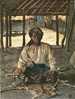
'Nyasaland and its People -- A Nyasa Arab, 1890. Creator: H.H. Johnson'Nyasaland and its People -- A Nyasa Arab, 1890. From "The Graphic. An Illustrated Weekly Newspaper", Volume 42. July to December, 1890
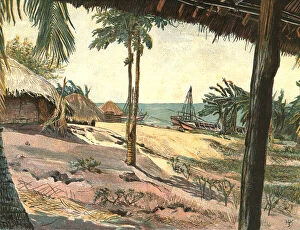
'Nyasaland and its People -- Jumbe's Fort on Lake Nyasa, 1890. Creator: H.H. Johnson'Nyasaland and its People -- Jumbe's Fort on Lake Nyasa, 1890. From "The Graphic. An Illustrated Weekly Newspaper", Volume 42. July to December, 1890
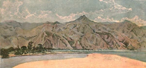
'Nyasaland and its People -- The Livingstone Mountains North End of Lake Nyasa, 1890. Creator: H.H. Johnson'Nyasaland and its People -- The Livingstone Mountains North End of Lake Nyasa, 1890. From "The Graphic. An Illustrated Weekly Newspaper", Volume 42. July to December, 1890
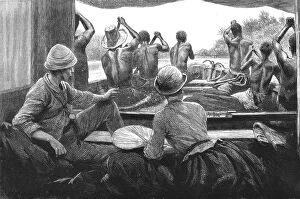
'A Journey up the Quilimane River Nyasa-land, on a Kwakwa Boat, 1890. Creator: UnknownFrom "The Graphic. An Illustrated Weekly Newspaper", Volume 42. July to December, 1890
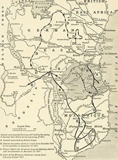
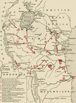
Map illustrating the Closing Phases of the East African Campaign, 1917-18, (c1920). European powers in Africa during the First World War
Colonial possessions in East Africa during the First World War, c1916, (c1920). Creator: UnknownColonial possessions in East Africa during the First World War, c1916, (c1920). Map showing German East Africa, British East Africa, the Belgian Congo, Rhodesia, Uganda