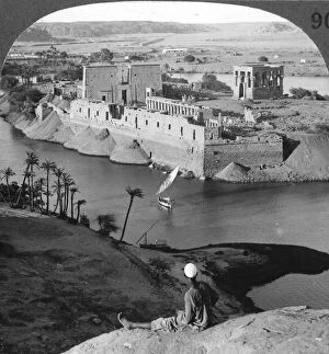
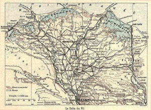
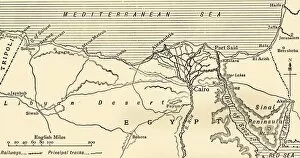
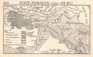
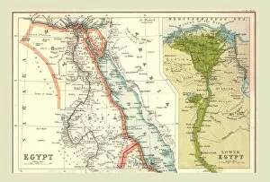
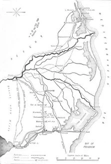
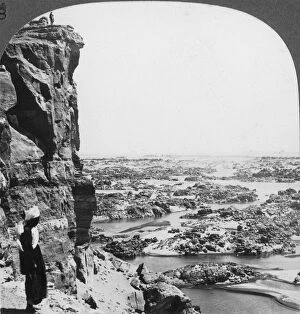
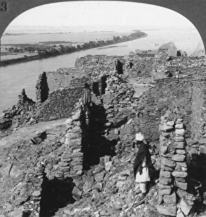
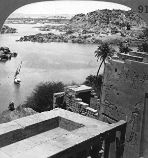
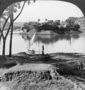
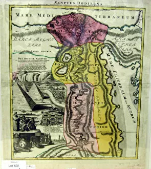
Map illustrating the Campaigns in Egypt from February, 1915, to May, 1916, . Creator: Unknown
Map illustrating the Campaigns in Egypt from February, 1915, to May, 1916, (c1920). Alexandria and the Nile delta, Cairo, Port Said, the Suez Canal and the Sinai Peninsula during the First World War