mail_outline sales@mediastorehouse.com
Map of North Holland, c.1700-c.1710. Creator: Nicolaes VisscherMap of North Holland, c.1700-c.1710. Kennemaria et Westfrisia vulgo et vernacule Noord-Holland tam in minores quam Praecipuas Ditiones...'
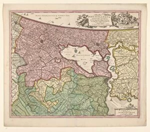
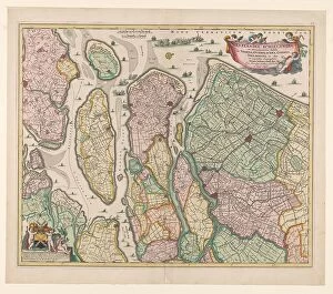
Map of Rijnland and Amstelland, c.1675. Creator: Workshop of Nicolaes VisscherMap of Rijnland and Amstelland, c.1675. Rhenolandia, Amstelandia et circumjacentia aliquot territoria: cum aggeribus omnibus terminisq. suis'
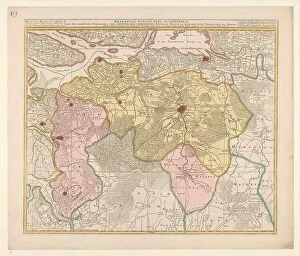
Map of the Baronie van Breda, c.1780. Creator: Nicolaes VisscherMap of the Baronie van Breda, c.1780. At the top left list of towns and villages. At the top right the scale in German and French miles
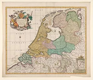
Map of the Republic of the Seven United Netherlands, 1677-1679. Creator: Nicolaes VisscherMap of the Republic of the Seven United Netherlands, 1677-1679. At the bottom right, the Maas from Maastricht to Wessem. At the top left the title in a cartouche surrounded by putti
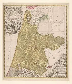
Map of South Holland, c.1675. Creator: Nicolaes VisscherMap of South Holland, c.1675. With the west above. Scale in Dutch and French miles. Warships in a naval battle on the North Sea, the mouths of the Haringvliet and the Maas
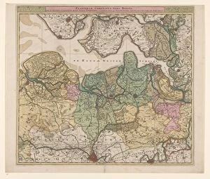
Map of North Flanders, c.1695. Creator: Nicolaes VisscherMap of North Flanders, c.1695. Showing part of Zeeland. Top right the scale in German and French miles
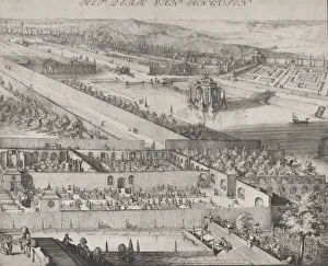
Detail of the Park at Enghien (right half), 1685. Creator: Romeyn de HoogheDetail of the Park at Enghien (right half), 1685
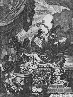
Dus deerlyk fneuvelde Kartagoos koningin?, 1668. Artist: Gerard de LairesseDus deerlyk fneuvelde Kartagoos koningin?, 1668. Dus deerlyk fneuvelde Kartagoos koningin. Men fchrikke, en wachte zich voor d onegbonde min, 1668