mail_outline sales@mediastorehouse.com
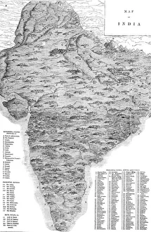
Map of India, 1857. Creator: UnknownMap of India, 1857. Map of the Indian subcontinent during the British colonial period, showing Kingdoms, States, Provinces &c...Principal Rivers...Bays, Gulfs &c...Principal Cities, Towns
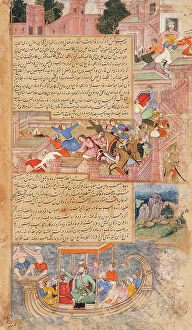
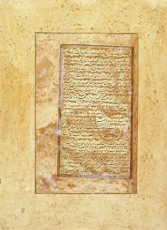
Attack of the People of Hams (recto), Calligraphy (verso), Folio from a Tarikh-i Alfi, c1594. Creator: UnknownAttack of the People of Hams (recto), Calligraphy (verso), Folio from a Tarikh-i Alfi, c1594
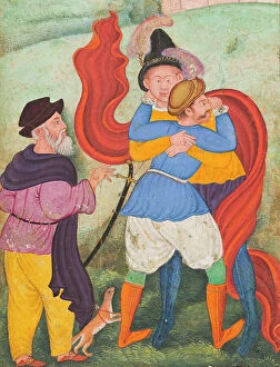
Europeans Embracing (image 3 of 3), c1590. Creator: UnknownEuropeans Embracing (image 3 of 3), c1590
Europeans Embracing (image 2 of 3), c1590. Creator: UnknownEuropeans Embracing (image 2 of 3), c1590
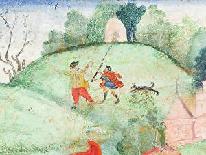
Birth of the Celestial Twins, Folio from a Harivamsha (Lineage of Vishnu), between c1585 and c1590. Creator: UnknownBirth of the Celestial Twins, Folio from a Harivamsha (Lineage of Vishnu) Folio of Harivamsa made by mughal artist during Akbar time. It is appendix of Razmnama.(image 2 of 2), between c1585 and c1590
Narsingue, 1644. Creator: Stefano della BellaNarsingue, 1644
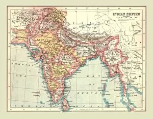
Map of the Indian Empire, 1902. Creator: UnknownMap of the Indian Empire, 1902. Showing the Indian subcontinent during the period of the British Raj (rule by the British Crown). From The Century Atlas of the World. [John Walker & Co, Ltd
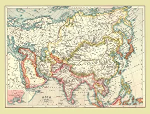
Map of Asia, 1902. Creator: UnknownMap of Asia, 1902. Showing Arabia, Persia, the Indian Subcontinent, Indochina and the Chinese Empire. From The Century Atlas of the World. [John Walker & Co, Ltd. London, 1902]