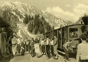
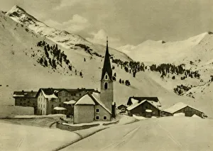
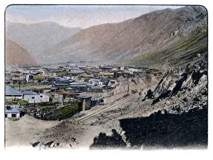
Obergurgl, Tyrol, Austria, c1935. Creator: Unknown
Obergurgl, Tyrol, Austria, c1935. The ski resort village of Obergurgl, at 1, 930 metres (6, 330 feet), is the highest parish in Austria
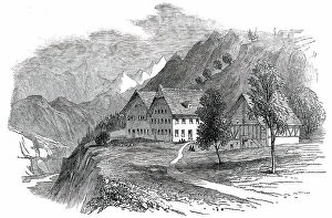
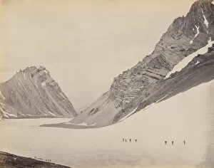
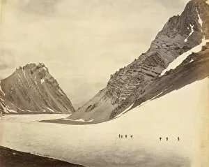
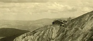
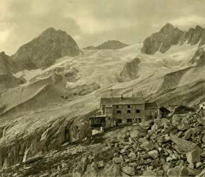
The Plauener Hütte and glacier, Zillergrund, Tyrol, Austria, c1935. Creator: Unknown
The Plauener Hutte and glacier, Zillergrund, Tyrol, Austria, c1935. The Plauener Hutte is a mountain cabin in the Zillergrund valley, 2, 362 metres above sea level