
Map of the Paris Universal Exposition, 1900

Map of the Paris Universal Exposition, 1900


Photo Prints
Poster Prints
Cards
Jigsaw Puzzles
Fine Art Prints
Canvas Prints
Home Decor
Mounted Prints
Metal Prints


We accept all major credit cards

Wall Art and Photo Gifts from Heritage Images

Map of the Paris Universal Exposition, 1900

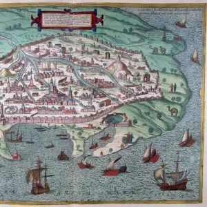
Map of the Paris Universal Exposition, 1900. More than 50 million people attended the exposition, designed to celebrate the achievements of the 19th century and anticipate the advances that would be made in the 20th

Media ID 14873572

© Artmedia / Heritage-Images

Attraction Cartography Cultural Event Map Making


MADE IN THE UK
Safe Shipping with 30 Day Money Back Guarantee

FREE PERSONALISATION*
We are proud to offer a range of customisation features including Personalised Captions, Color Filters and Picture Zoom Tools

SECURE PAYMENTS
We happily accept a wide range of payment options so you can pay for the things you need in the way that is most convenient for you

* Options may vary by product and licensing agreement. Zoomed Pictures can be adjusted in the Basket.


redeem
Beautiful Photo Prints and Gifts
image
Professionally Printed
inventory
Photo Prints are in stock
thumb_up
Professional quality finish
diamond
Made with high-grade materials
inventory_2
Carefully packed to aid safe arrival


Related Images


Seven days of the week. Twilight, morning, dawn, the evening, 1757. Artist: Bernard de Montfaucon
The origin of Rome, 1757. Artist: Bernard de Montfaucon
A representation of November, 1757. Artist: Bernard de Montfaucon
A representation of January, 1757. Artist: Bernard de Montfaucon
Map of Alexandria, Egypt, 17th century
Map of Florence, 15th century
James Rennell, British geographer, 1802
Jupiter, 1757. Artist: Bernard de Montfaucon
The Burning of the Library of Alexandria, 1876. Artist: Anonymous
Athanasius, (c296-373), 1830. Creator: Unknown
Trinidad & Tobago Map, c1940s. Creator: Unknown

+

Shipping

+

Choices

+

Guaranteed