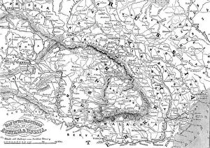
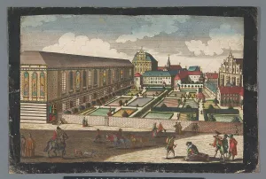
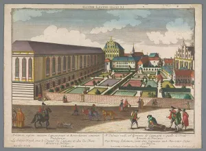
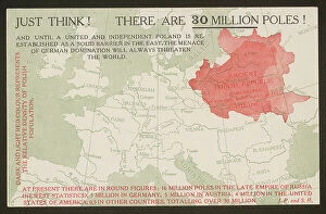
Map of the Frontiers of Austria & Russia, 1856. Creator: Unknown. Map of the Frontiers of Austria & Russia, 1856
Map of the Frontiers of Austria & Russia, 1856. Map showing the area involved in the Crimean War: Black Sea, Transylvania, Hungary, Poland, Turkey, Odessa, Kiev, Bessarabia, Galicia
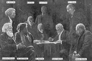
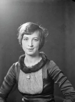
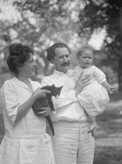
Crosbie, Violet, Miss, and other members of Polish relief group, portrait photograph, 1916. Creator: Arnold Genthe
Crosbie, Violet, Miss, and other members of Polish relief group, portrait photograph, 1916