mail_outline sales@mediastorehouse.com
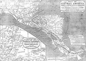
Map of Central America shewing the Proposed Routes of Communication between the Atlantic & Pacific O CreatorMap of Central America shewing the Proposed Routes of Communication between the Atlantic & Pacific Oceans, 1856....and the Disputed Territories of British Honduras (Belize)
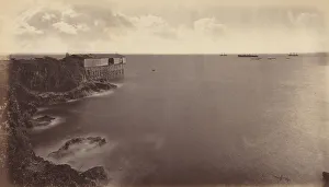
Acajutla, 1877. Creator: Eadweard J MuybridgeAcajutla, 1877
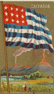
Salvador, from Flags of All Nations, Series 2 (N10) for Allen &Salvador, from Flags of All Nations, Series 2 (N10) for Allen & Ginter Cigarettes Brands, 1890
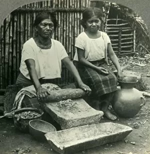
Making Tortillas in Salvador, the Smallest Republic in the Western Hemisphere, Central America, c1930s. From the late 19th to mid-20th century, El Salvador endured political and economic instability