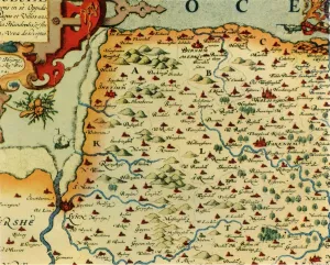
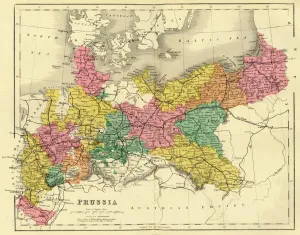
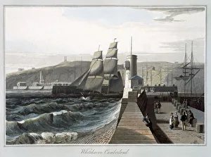
Map of Prussia, c1872. Creator: Unknown
Map of Prussia, c1872. Showing the various regions including Holstein, Hanover, Westphalia, Lower Rhine, Lorraine, Nassau, Cassel, Saxony, Brandedburg, Silesia, Pomerania, West Prussia
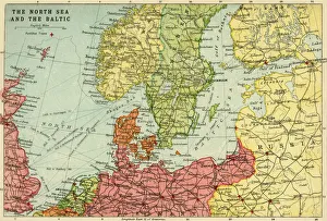
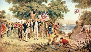
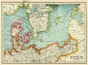
Map of the North Sea and the Baltic, c1914, (c1920). Creator: John Bartholomew & Son
Map of the North Sea and the Baltic, c1914, (c1920). Northern Europe at the start of the First World War, including parts of Norway, Sweden, Finland, Russia, Germany, Denmark
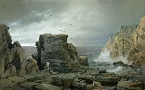
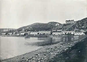
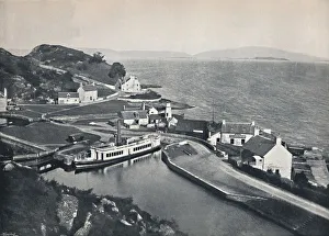
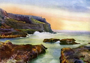
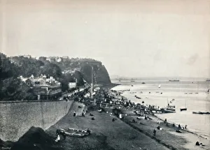
The Cliff, Castlerock, Londonderry, Northern Ireland, 1924-1926. Artist: MC Green
The Cliff, Castlerock, Londonderry, Northern Ireland, 1924-1926. A print from Hutchinsons Britain Beautiful, edited by Walter Hutchinson, volume III, 1924-1926
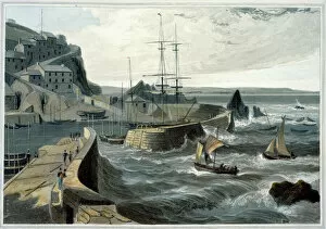
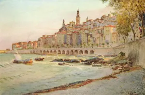
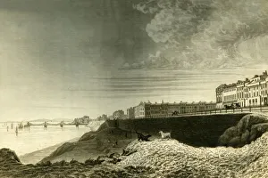
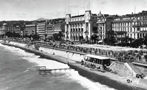
Quai des Etats-Unis, Nice, France, 1937. Artist: Martin Hurlimann
Quai des Etats-Unis, Nice, France, 1937. Illustration from Frankreich: Baukunst, Landschaft Und Volksleben, a work on French architecture, landscape and people by Martin Hurlimann, (Berlin, 1937)