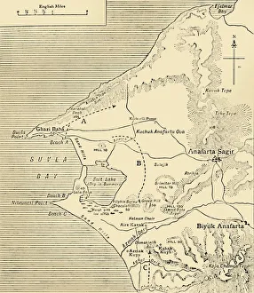
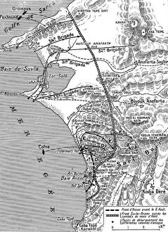
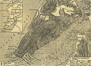
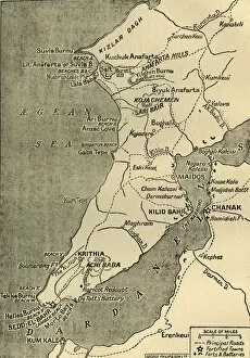
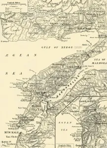
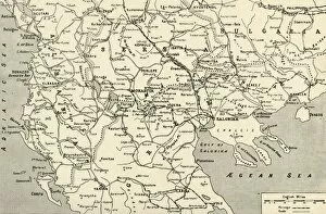
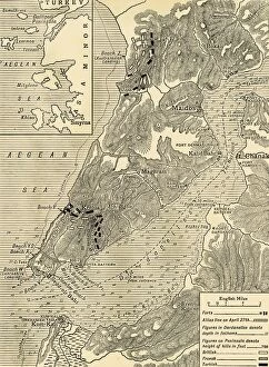
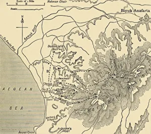
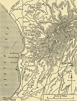
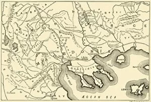
Map of Sari Bair, Gallipoli peninsula, First World War, 1915, (c1920). Creator: Unknown
Map of Sari Bair, Gallipoli peninsula, First World War, 1915, (c1920). The Battlefields of Anzac: The elaborate series of operations in August, 1915, began with holding attacks on Lone Pine