Canvas Print : French Map of Central and South America, French, 1550


![]()
Canvas Prints from Heritage Images
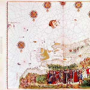
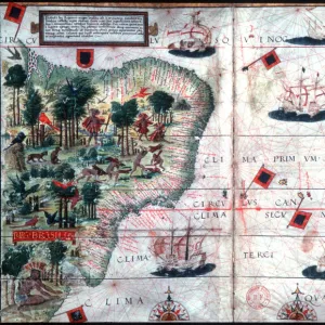
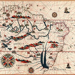
French Map of Central and South America, French, 1550
French Map of Central and South America, French, 1550. Map showing Florida, the Gulf of Mexico, the Caribbean islands and Antilles, and South America with the River Plate prominent. It features illustrations including conquistadors in Peru, cannibals, gold mines and parrots. From the British Museum
Media ID 14847392
© Ann Ronan Picture Library / Heritage-Images
Cannibal Cannibalism Caribbean Cartography Central America Chart Colonisation Conquest Conquistador Discovery Exploration Invader Invaders Invasion Island Map Making Navigation River Plate Western Hemisphere
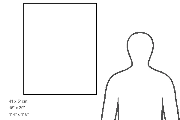
20"x16" (50x40cm) Canvas Print
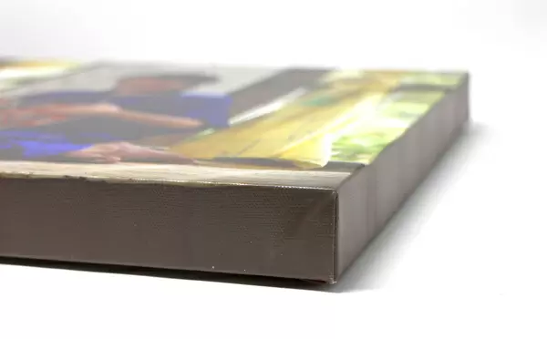
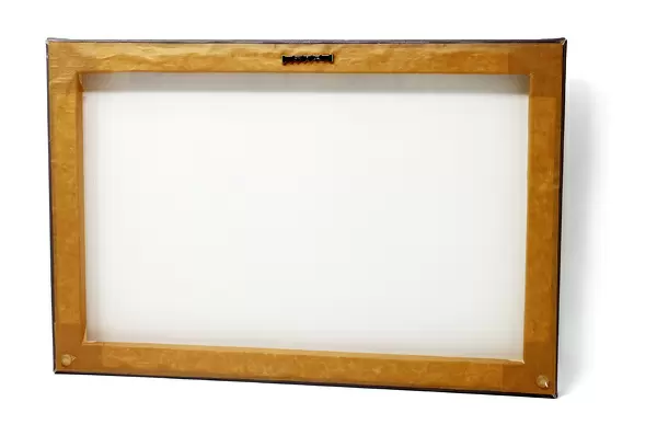
Ready to hang Premium Gloss Canvas Print. Our archival quality canvas prints are made from Polyester and Cotton mix and stretched over a 1.25" (32mm) kiln dried knot free wood stretcher bar. Packaged in a plastic bag and secured to a cardboard insert for transit.
Canvas Prints add colour, depth and texture to any space. Professionally Stretched Canvas over a hidden Wooden Box Frame and Ready to Hang
Estimated Product Size is 40.6cm x 50.8cm (16" x 20")
These are individually made so all sizes are approximate
Artwork printed orientated as per the preview above, with portrait (vertical) orientation to match the source image.
MADE IN THE UK
Safe Shipping with 30 Day Money Back Guarantee
FREE PERSONALISATION*
We are proud to offer a range of customisation features including Personalised Captions, Color Filters and Picture Zoom Tools
SECURE PAYMENTS
We happily accept a wide range of payment options so you can pay for the things you need in the way that is most convenient for you
* Options may vary by product and licensing agreement. Zoomed Pictures can be adjusted in the Cart.