Wall Art and Photo Gifts from Heritage Images
Map of Syria, 1851. Artist: John Tallis
Map of Syria, 1851. From The Illustrated Atlas, And Modern History Of The World Geographical, Political, Commercial & Statistical edited by R. Montgomery Martin, Esq. [J & F. Tallis, London, Edinburgh & Dublin, 1851]
Media ID 14978272
© The Print Collector
Atlas
Border
Boundary
Camel
Camel Train
Camels
Cartography
Hillside
Map Making
Martin
Syria
Tallis
MADE IN THE UK
FREE PERSONALISATION *
SECURE PAYMENTS
* Options may vary by product and licensing agreement. Zoomed Pictures can be adjusted in the Basket.
redeem
Beautiful Photo Prints and Gifts
image
Professionally Printed
inventory
Photo Prints are in stock
thumb_up
Professional quality finish
diamond
Made with high-grade materials
inventory_2
Carefully packed to aid safe arrival
Related Images
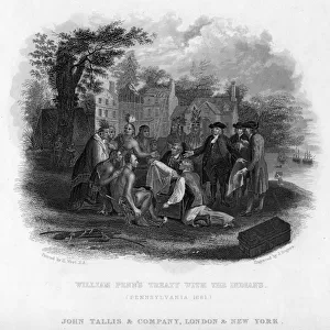
William Penns Treaty with the Indians, Pennsylvania, 1681. Artist: J Rogers
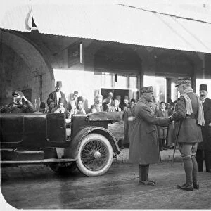
Officers of the French Foreign Legion, Syria, 20th century
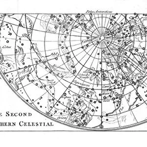
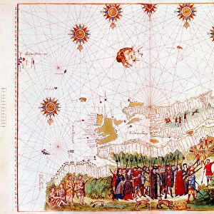
Second part of the star chart of the Southern Celestial Hemisphere showing constellations, 1747
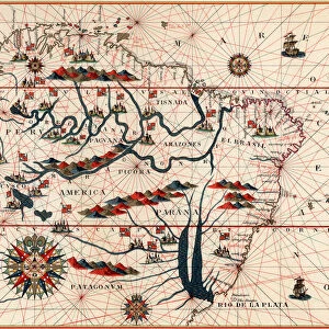
Part of South America, 1582
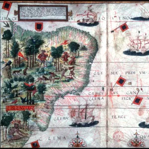
Map of Brazil by Portuguese navigators Pedro Reinel and Lopo Homen, c1525. Artist: Pedro Reinel
Map of the east coast of North America, early 16th century
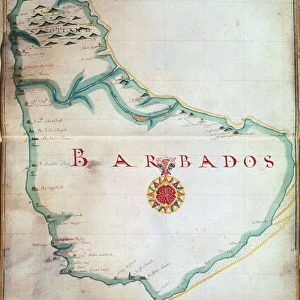
Map of Barbados, 1683
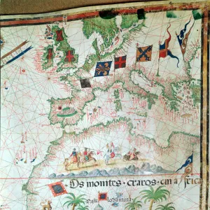
Map by Bastian Lopez showing Europe, the British Isles and part of Africa, Portuguese, 1558. Artist: Bastiaim Lopez
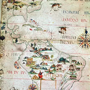
French Map of Central and South America, French, 1550
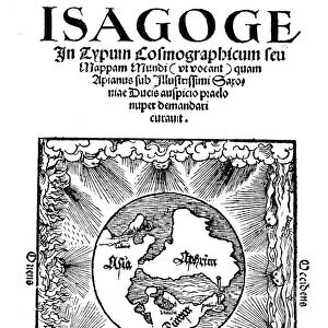
Title page of Isagoge in Typum Cosmographicum seu Mappam Mundi by Peter Apian, 1523
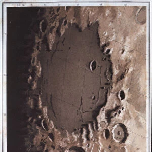
Part of the lunar surface, 1857
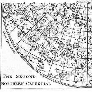
Second part of the star chart of the Northern Celestial Hemisphere showing constellations, 1747
arrow_back_ios arrow_forward_ios